
Software products at the intersection of satellite data, AI and embedded systems
We design, build and run production systems end to end — from Sentinel-2 processing pipelines to multi-tenant platforms and the firmware on the device. Our current product is Orbilas, a satellite layer for forest fire preparedness in Poland.
Orbilas — satellite intelligence for forest fire preparedness
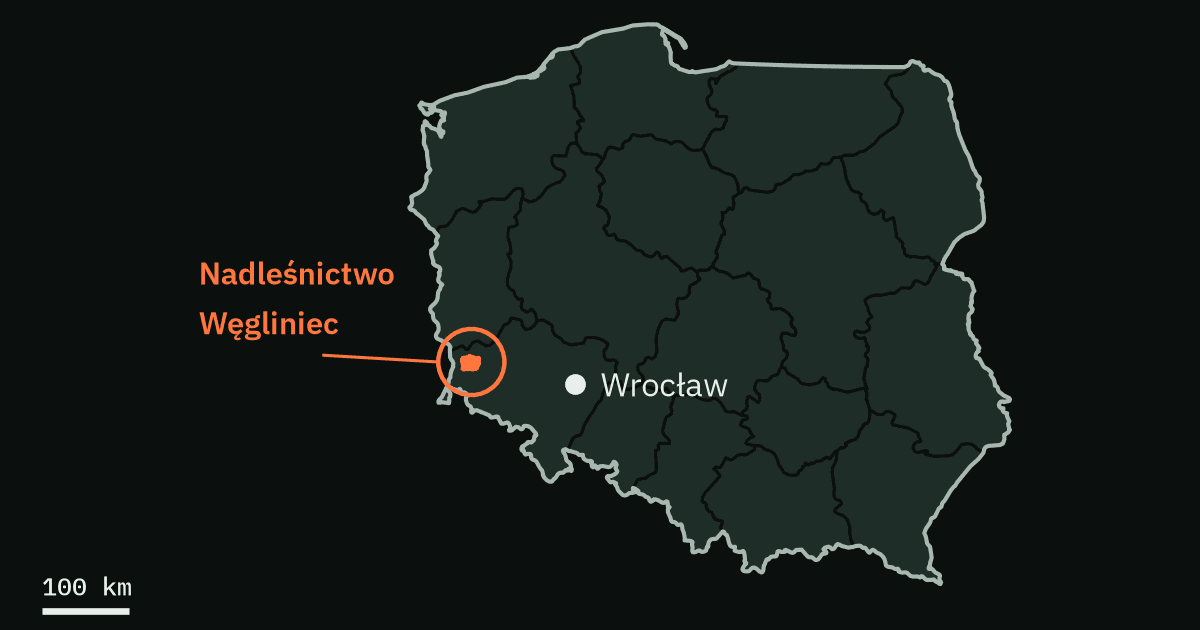
Orbilas turns Copernicus Sentinel-2 imagery and Poland's open forest records into field-ready work lists for forest districts — delivered straight into the QGIS tools foresters already use. Demonstration area: Nadleśnictwo Węgliniec, RDLP Wrocław.
How Orbilas worksWhat we do
Contact
Write to us at info@sentienttech.io or use the form below. Correspondence in English or Polish.